Habitat loss
Roads, clearing, drainage, shoreline change, and logging can remove the specific microhabitats reptiles need.
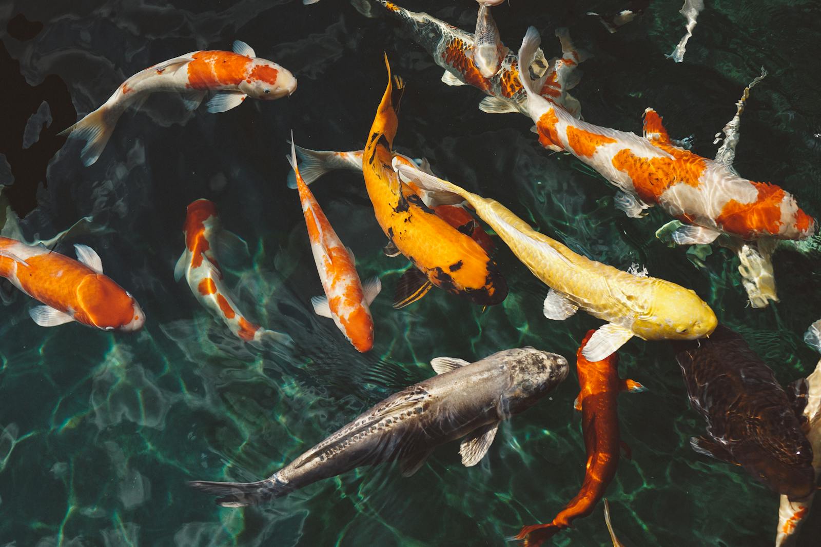
Conservation hub
This hub is where the site should feel less like a list of causes and more like a practical way to understand what pushes reptile populations up or down.
Best use:
Start here if you want to connect species pages with habitat threats, monitoring, patrol work, and recovery efforts.
Main rule:
Look for place-based context. Reptile conservation gets thin fast when everything becomes generic awareness language.
Roads, clearing, drainage, shoreline change, and logging can remove the specific microhabitats reptiles need.
Drought, altered flow, storm damage, and rising heat can reshape basking, nesting, shelter, and prey access.
Persecution, poaching, road mortality, and illegal trade still hit many species long before broader policy does.
In many places, the data is still patchy, which means decline can be obvious locally before it is obvious formally.
Reptile Atlas is at its best when it shows how species, habitats, and field methods connect. A better conservation page should help readers move between those layers instead of leaving them with slogans.

Accurate sightings, roadkill notes, and habitat observations can matter, especially when they are attached to credible platforms or local groups.

Protecting a nesting beach, wetland edge, dune system, or basking corridor is often more meaningful than broad generic support language.
Patrols, monitoring, conflict reduction, and local stewardship all beat empty conservation branding.
Crossing points, underpasses, fencing, and hotspot reporting deserve stronger hub treatment.
Beach, riverbank, and mangrove nest protection can become a stronger thematic cluster.
Fear, bite risk, and livestock conflict need practical pages, not just sympathy language.
Telemetry, night surveys, patrol logs, and repeated field notes should connect more clearly to outcomes.